This release updates Open Data and introduces State Saving and Refresh.
Open Data
The speed of finding results has been increased by around 600%. The new method uses multiple servers, instead of one, to achieve the new speeds.
- Open Data now supports tiled sources. Certain sources have data that has been tiled. You will notice that these sources almost instantly show up when clicked on.
- Open Data has more results. Go try it out by clicking on the Imagery tag in Open Data!
State Saving
Has now been introduced to Smart Site Plan. State saving remembers what you have selected or turned on and respectfully turns it on when you return to that specific project. This is all done passively and does not require user interaction.
- Supports extents. Your screen extents are saved to the state anytime you are zooming or panning the map.
- Supports Open Data, Layers, and Overlay (Basemaps, Custom Maps, Images, Markers, and Tasks) functionality,
- Supports ordering. The order in which functionality has been toggled will be respected when returning to the project.
- Supports opacity.
Refresh
Has now been introduced to Smart Site Plan. Refresh removes the project’s State Data and uses the original extents and basemap of the project. This does not remove or change any data from the project.
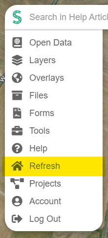
- This is located in the main menu:
- Reset View has been removed from Tools, due to duplicating the functionality of Refresh.